Geomatic Engineering
The Department of Geomatic Engineering is one of the six Departments in the College of Engineering with a Mission of being a Centre of excellence for Teaching, Research and Community Service in all aspects of Geo-information acquisition, archiving and dissemination.
Geomatic Engineering integrates the acquisition, processing, analysis, display and management of spatial information. It includes the disciplines of Photogrammetry and Remote Sensing, Land and Engineering Surveying, Geographic Information Systems (GIS), Cartography, Geodesy, Hydrography, Cadastral Surveying and Land Information Management.
The Department of Geomatic Engineering has the following research grouping.
Geodesy and Hydrography Research Group
The research group helps to determine the size and shape of the earth as well as location of portion on it using points positioning techniques such as the satellites. It also includes quantifying that gravity fields and its effect on the earth’s rotation and for coordinate definitions, distortions from rotational and other effects.
Photogrammetry and Remote Sensing Research Group
Geomatic Engineers in this group focus on the technology of obtaining reliable information about physical objects and the environment through processes of recording, measuring and interpreting photographic images and pattern or electromagnetic radiant energy and other phenomena.
Land Surveying and Management Research Group
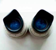
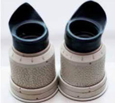
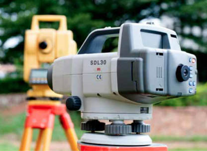
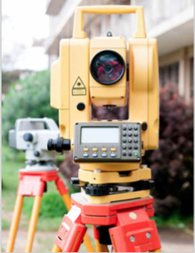
The group research focus is on the basic concept of plane survey measurement and computational methods that includes an introduction to the use of different equipment for engineering and construction surveys such as setting out and consulting such projects for horizontality and verticality, road profiles, curves, culverts and transference of controls.
Cartography Research Group
Cartography is the science of communicating geographic and statistical information geographically, aesthetically and accurately so as to meet the need of a particular user. The group uses data from field measurements as well as data from images and other sources to prepare maps, charts and drawings for visualization.
GIS and IT Research Group
The group hinges on computer system and software packages including programming and algorithmic development necessary for solving geomatic problems. Also includes integration of spatial analysis, surveying, automated mapping and data base management.
The following are some completed research projects by the Department
- Cholera and Spatial Epidemiology
- Evaluating Spatial and Space-time clustering of cholera in Ashanti Region
- A Spatio-Temporal Based Estimation of Vegetation Changes in Tarkwa Mining Area of Ghana
- Bayesian Structured Additive Regression Modeling Of Epidemic Data: Application to Cholera
- Multi-Spatial Criteria Modelling of Fire Risk and Hazard in the West Gonja Area of Ghana
- Modelling Land -Use Change for Ejisu - Juabeng District of Ghana
- Compulsory Acquisition and Urban Land Delivery in Customary Areas
- GUI for the Equipment Store of the Department of Geomatic Engineering, KNUST
- Assessing the Impact of Long-Term HeveaBrasiliensis (Para Rubber) Plantation on Soil Dry Bulk Density in Semi-Decideous Forest Environment in Ghana
- The Use of Digital Elevation Models for Watershed and Flood Hazard Mapping
- GIS Based Fire Emergency Response System
- Analysis of Forest Cover Detection
The following area constitutes the important practical field projects undertaken by the Department.
- Design, construction and management of complex civil engineering projects
- Acquisition of data for, and production of, digital and paper maps and charts
- Management of assets, such as land, property, and transportation infrastructure (especially through the use of GIS)
- Monitoring of our changing environment using satellite, non-topographic photogrammetry and airborne remote sensing management of natural resources, both on land and offshore
- Planning urban environments (e.g. location of schools, hospitals and supermarkets)
- Understanding and predicting earthquakes by measuring very small land movements
- Ensuring the safety of man-made structures (such as bridges, dams and large buildings) by monitoring their deformation
- Exploration and engineering for the production of oil and gas, especially offshore
- Dimensional control of industrial components